Jamaica Beach Guide
Manchioneal Beach


Beach Location
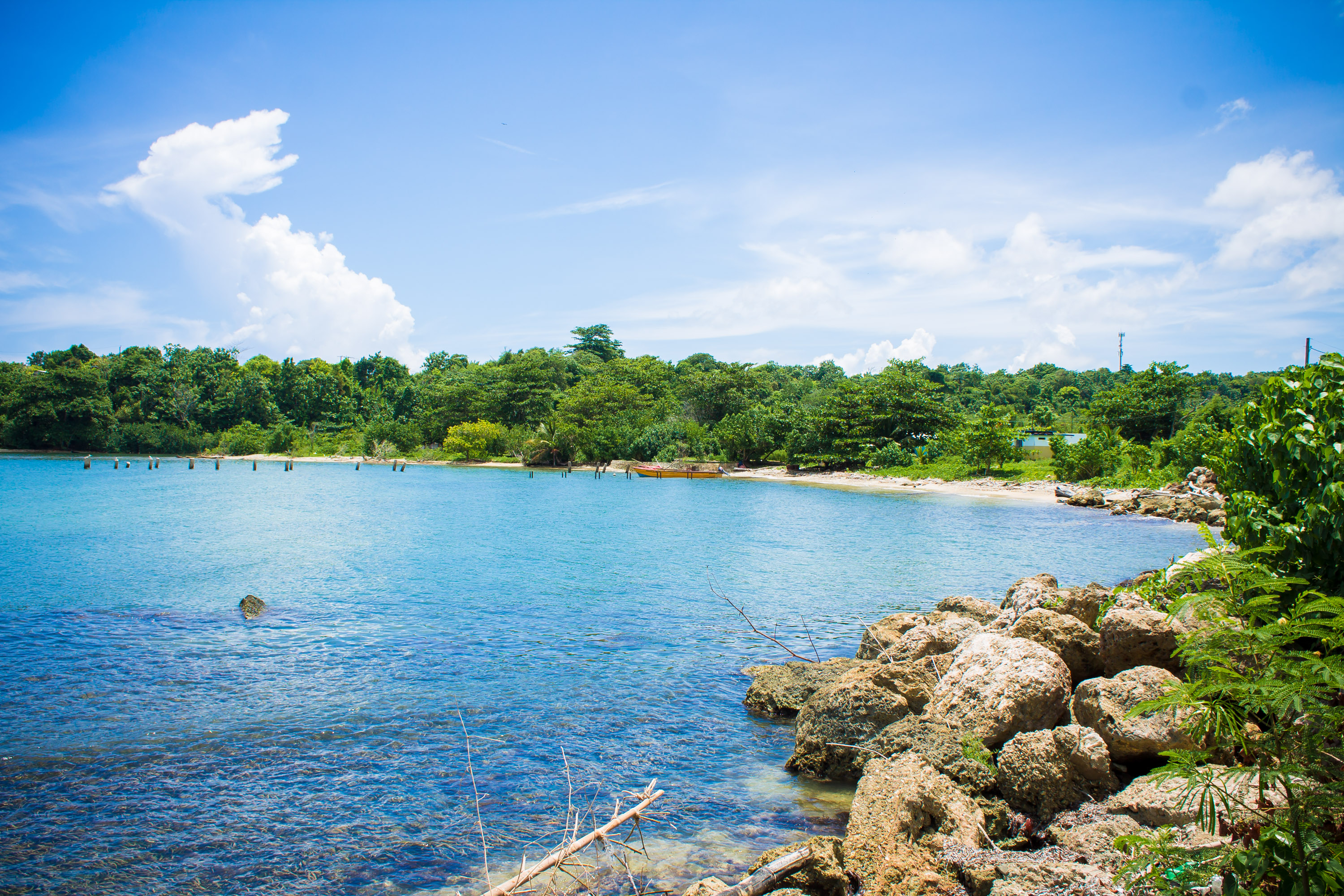
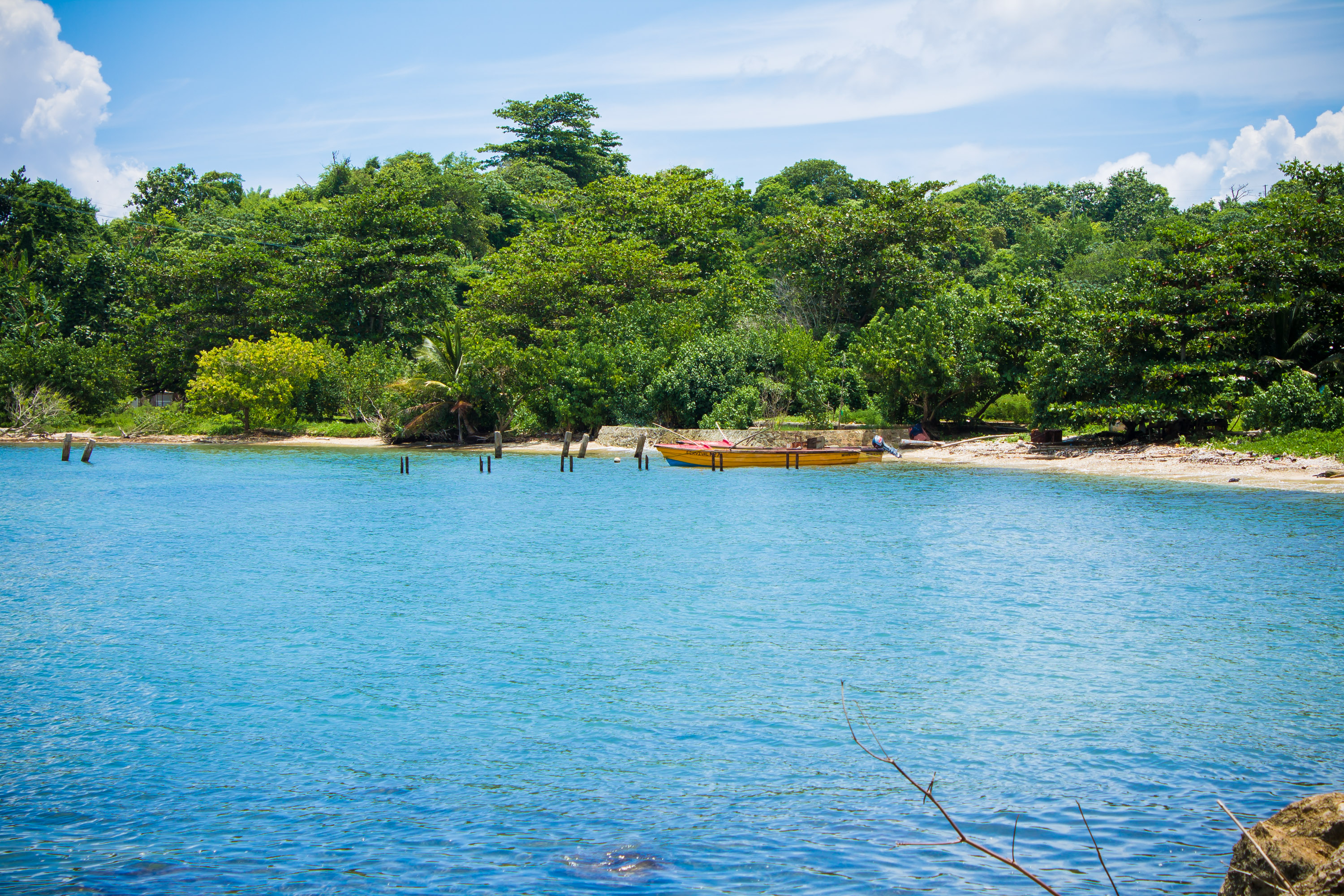
The Manchioneal Beach is a fishing beach that is approximately 4,046 square meters (1 acres) and is heavily vegetated with the presence of seagrass in the nearshore, there is also noted coral reefs several hundred feet off shore. There have been occasional sighting of manatees slightly north of the beach. The most notable feature present is the mouth of Muirton River. There are two offices located on the Beach as the Ministry of Fisheries has an office where records of fishermen and their boats and the beaches to which they are registered are kept, the fisheries office used to have a tank associated with it to distribute marine gas and oil; however this facility was damaged and is currently non-functioning, and the other office is owned by Food for the Poor. There are also remnants of former structures. The wooden piles which once supported a docking pier for the fishermen remains although the dock itself has been destroyed. The foundation of a concrete structure which was used for the weighing and selling of fish also still remains. There is no official garbage collection or disposal mechanism. The natural sediment on the beach consist of light brown sediment. The slope of the beach is gentle
Accessibility
The beach lies along the main road
Parking
There is very limited parking
Amenities
Restroom and cold storage
Things to do
Purchase fish
Location Map
| Entrance Fee | None | |
| Opening Hours | Non-restrictive |
 |
Sea conditions | Beach suffers from damages during hurricanes |
| Lifeguard Service | No Lifeguard on Duty |
The beach lies along the main road
 |
Limited parking |
| Owned by | Altantic Fruit Company (occupied by Beach Control Authority) | |
| Telephone | (876) 754-7540 | |
| pubed@nepa.gov.jm |

