Jamaica Beach Guide
Mezgars Run Beach


Location
17° 54'47.48" N 76°38'15.73" W
Mezgars Run is located in Mezgars Gardens, St. Thomas. The beach is located approximately 25 minutes from the Norman Manley International Airport.
Description & Environmental Features
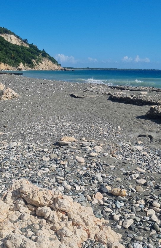
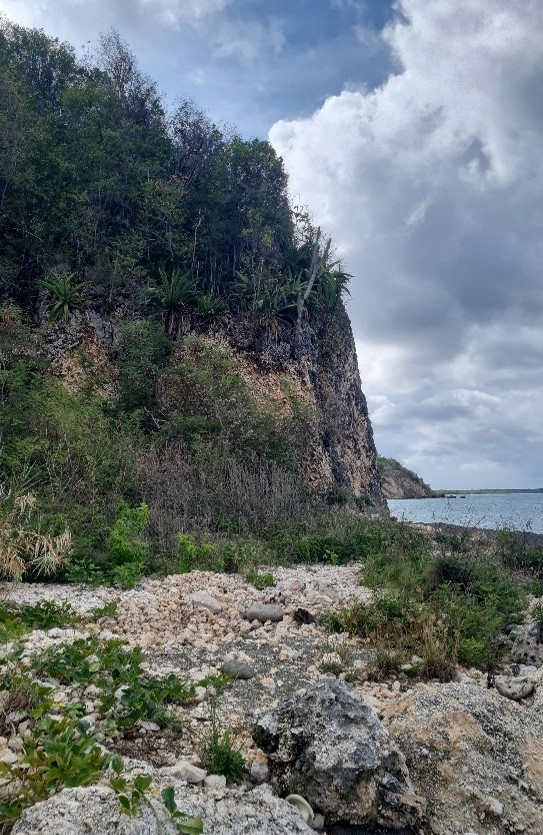
The beach comprises fine black sand and cobble stones of varying shapes and sizes. There are cliff faces located to the west and east of the beach with sections of the nearshore comprising of rock or old reef formations. The length of the beach is approximately 1,000 metres long with average widths of 23 metres. Backshore vegetation includes species of cactus (Cactaceae), bromeliads (Bromelia), giant-reed (Arundo donax), and West Indian almond (Terminalia catappa).
Accessibility and Parking
The beach lies at the end of Mezgars Boulevard, off the A4 main road. There is no designated parking, however there is space along the road to accommodate a few vehicles. There is currently ongoing development at the site that may impact access to the beach.
Amenities
The beach is currently in its natural state, so there is no infrastructure to facilitate recreational use, including food services.
Things to do
The beach is suitable for beach football and other recreational activities outside of swimming. Patrons can visit nearby attractions/ restaurants including Double Scoops Restaurant and Yallahs River.
Beach Licence
No
Location Map
| Entrance Fee | None | |
| Opening Hours | Non-restrictive |
 |
Sea conditions | Generally high waves with strong rip currents |
| Lifeguard | No lifeguard on duty. Swimmers are advised to exhibit extreme caution. |
The beach is located approximately 25 minutes from the Norman Manley International Airport.
| There is no designated parking, however there is space along the road to accommodate a few vehicles. |
| Owned by | Mezgars Housing Subdivision |

