
- Home
- About Us
- Careers
- Legal Matters
- Projects & Programmes
- Media Centre
- Services & Products
- Application eCentre
- Access to Information (ATI)
- Beach Guide
- Development Assistance Centre
- Air Quality Management
- Planning & Development
- Application Tracking Online
- Documentation Centre
- Publications
- Action Plan-Corals and Reefs
- Hunter's Handbook
- Wastewater Management
- Project Reports
- Caribbean Coral Reefs Report
- Cockpit Country Report 2013
- Kingston Harbour
- Coral Reef Report Card
- Bat Assessment
- Brochures & Flyers
- Posters
- Guidelines
- Reports
- Newsletters
- Poems & Stories
- State of the Environment Report
- Documents
- NEPA Library Catalogue
- Publications
- Students' Resource Centre
- Sub-sites
- Maps
- Forms
- Links
- Guidelines
- Game Hunters Portal
- Contact Us
- Search NEPA


Jamaica Beach Guide
Tryall Beach
Location
18°27'4.75"N 78° 4'20.40"W
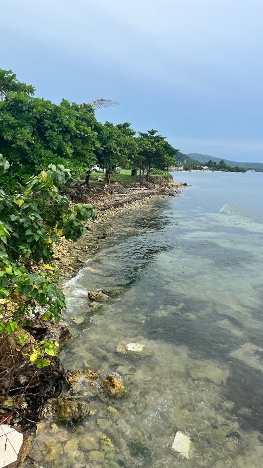
Tryall Beach is a seaside park located to northeast of the town of Sandy Bay in the parish of Hanover. The beach is located directly off the North Coast Highway.
Description & Environmental Features
The natural sediment on the beach is predominantly light brown, medium grained sand. However, the beach has undergone severe erosion, with exposed rocks in some areas. Tryall Beach is small, with a length of just under 200 metres and width ranging between 3 and 4 metres. There are a few coconut trees (Cocos spp.) scattered throughout the property. Large seagrass beds are located within the nearshore area and extends seaward. A large expanse of coral reefs is also located offshore.
Accessibility and Parking
The beach is accessed directly off the North Coast Highway. There is no designated parking, however patrons may utilise the open space adjacent to the beach.
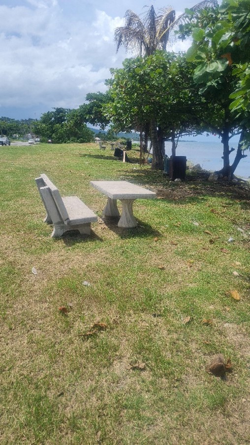
Amenities
Other than a few benches and chairs, there is no additional infrastructure available. There is a restaurant adjacent to the beach.
Things to do
The beach can be used as a rest stop. Nearby attractions include Barbican Estate and the Hanover Museum and the Tryall Golf Course.
Beach Licence
No
Location Map
| Entrance Fee | None | |
| Opening Hours | Non-restrictive |
 |
Sea conditions | Generally calm |
| Lifeguard service | No lifeguard on duty |
The beach is accessed directly off the North Coast Highway.
| Owned by | Beach Control Authority | |
| Telephone | (876) 754-7540 | |
| pubed@nepa.gov.jm |